

eda is committed to client satisfaction through collaboration – with other professional disciplines, regulatory agencies, the public, and most importantly, the client. This commitment to collaboration has proven time and again to produce quality projects that suit the client’s needs and those of the communities in which we work.


Why Choose Us?
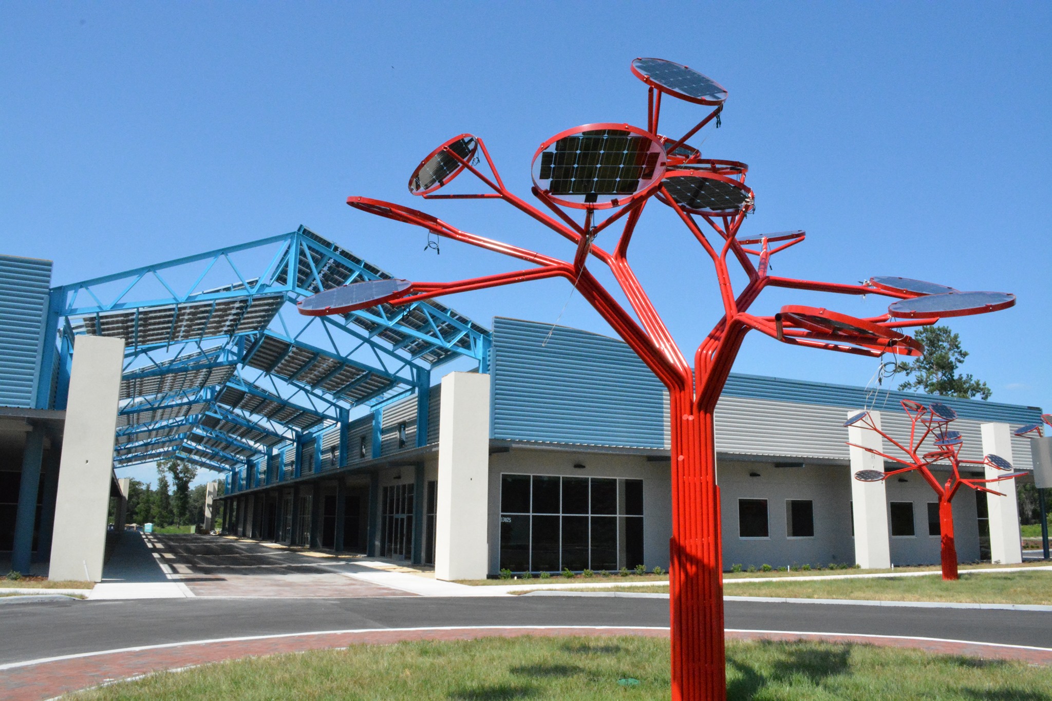
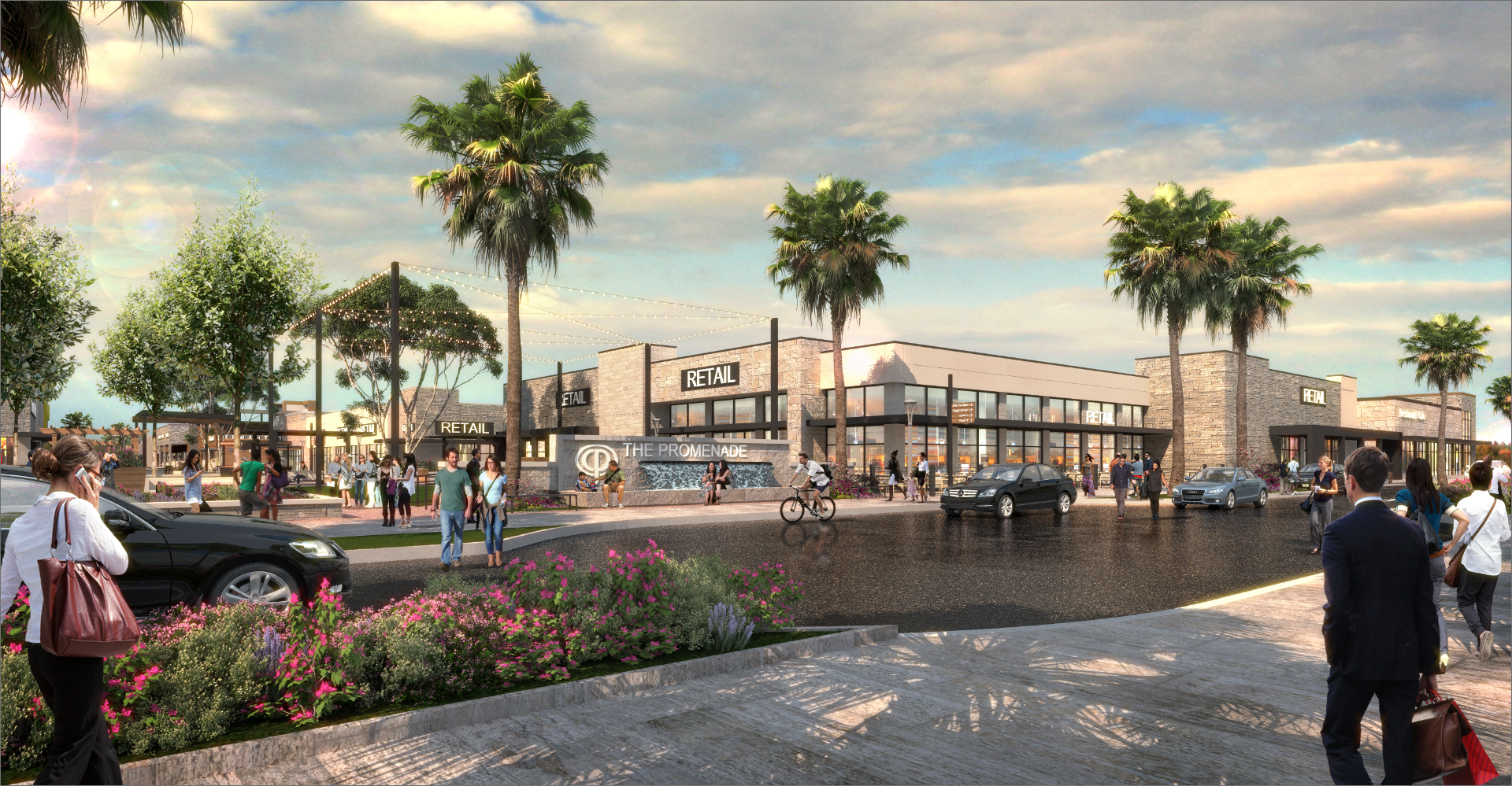
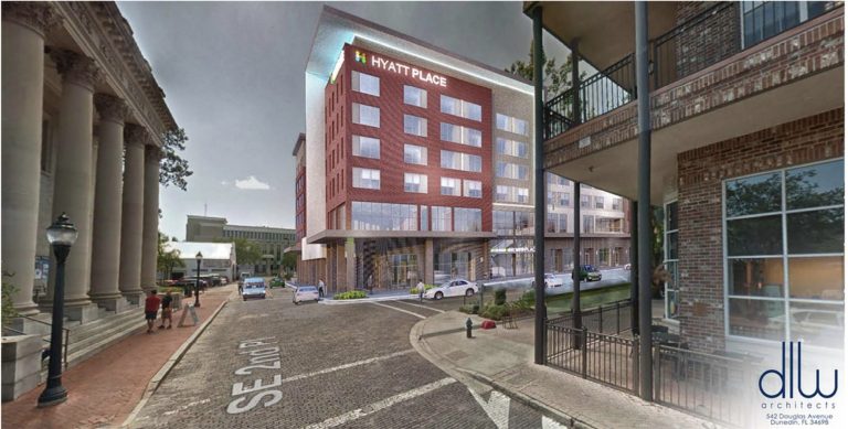
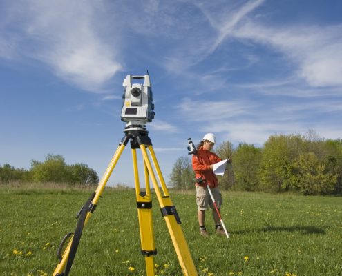
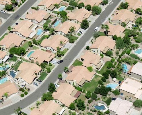
eda is a minority-owned small business that has provided professional Civil Engineering, Planning & Design, and Land Surveying services throughout Florida for over 40 years. We offer this full range of land development services under one roof to a wide variety of public and private sector clients. Our clients include municipalities and governmental agencies of different sizes as well as private developers and landholders. The daily collaboration of these disciplines expands our range of knowledge and helps provide precise and timely services to our clients. We are here to provide the professional services you need- even if you don’t know exactly what you need, we can help make that determination. Please call or e-mail using the info to the right, or fill out our online form below.
720 SW 2nd Avenue
South Tower, Suite 300
Gainesville, FL 32601
Phone: (352) 373-3541
Email: [email protected]

